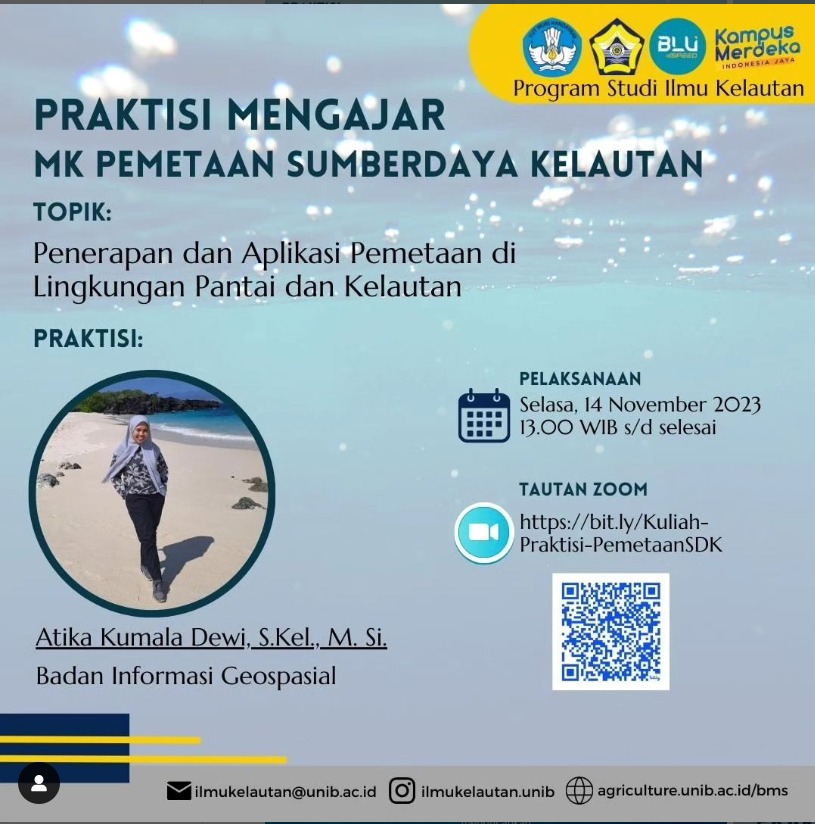
Implementation and Application of Coastal and Marine Environmental Mapping
The Marine Science Study Program at the University of Bengkulu recently conducted a public lecture on the Implementation and Application of Coastal and Marine Environmental Mapping, drawing interest from students, faculty, and local environmental stakeholders. Led by Atika Kumala Dewi, an expert in marine spatial planning, the lecture provided valuable insights into the methodologies and technologies used for mapping coastal and marine environments. Participants learned about the importance of accurate environmental mapping for effective resource management, habitat conservation, and disaster preparedness. The speaker showcased various case studies highlighting successful mapping initiatives that have informed policy decisions and community engagement in coastal management. The session concluded with a Q&A segment, encouraging attendees to discuss challenges and opportunities related to environmental mapping in their own research and community projects, further emphasizing the critical role of mapping in sustainable coastal and marine development.


