
INTRODUCING GEOSPATIAL TECHNOLOGY FOR MAPPING AND DIGITALIZING SEAGRASS ECOSYSTEM DATA IN KAHYAPU VILLAGE, ENGGANO ISLAND
ENGGANO ISLAND – A team of lecturers and students successfully conducted an independent community service program at SMPN 18 Bengkulu Utara, located on the outer border of Enggano Island. The program aimed to introduce geospatial technology for mapping and digitalizing seagrass ecosystem data in Kahyapu Village. The initiative was led by Akbar Abdurrahman Mahfudz, S.Si., M.Sc., alongside faculty members Ayub Sugara, S.Kel., M.Si., and Dr. Ali Muqsit, S.Kel, M.Si, with active participation from students Titin Kartika, I Made Aditya Putra, and M. Fahri Alfhaizh.
The program kicked off with an initial preparation phase, where the team coordinated with school authorities and local village officials to present the program plan. Using interactive PowerPoint presentations, the team introduced the local authorities to the fundamentals of seagrass ecosystems and basic digital mapping applications. They also highlighted the critical urgency of mapping seagrass beds to ensure the ecosystem’s sustainability and to support modern coastal management through geospatial technology.
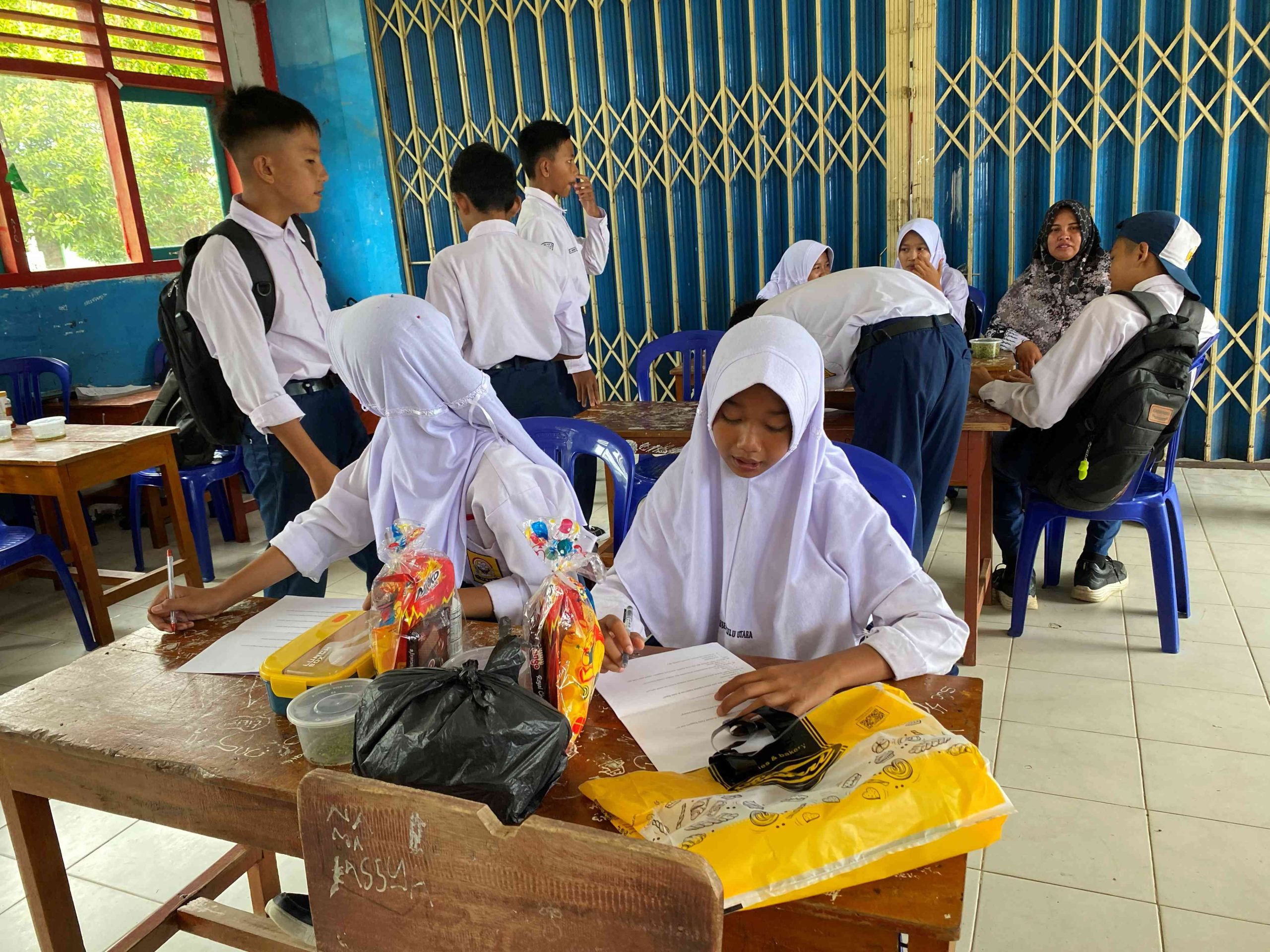
The main activities took place from May 8 to May 13, 2026. The team utilized classroom lectures and interactive group discussions with the students of SMPN 18 Bengkulu Utara. The educational sessions focused on introducing basic geospatial concepts, demonstrating how digital mapping tools can manage seagrass habitats, and building a deeper awareness of the vast potential of seagrass ecosystems along the coastlines of Enggano Island.
The community service program yielded outstanding results, with students demonstrating a strong grasp of geospatial technology, digital mapping capabilities, real-time seagrass distribution, and the ongoing threats of coastal degradation. To measure the success of the initiative, the team conducted an interactive evaluation using direct Q&A sessions. Students were evaluated on their understanding of Geographic Information Systems (GIS), their ability to operate mobile navigation apps, techniques for recording field coordinates, and their awareness of anthropogenic and natural threats endangering seagrass habitats and marine life.
Ultimately, the technology and participatory mapping materials served as a powerful motivator for the younger generation. By mastering these digital tools, the youth of this remote island are now highly inspired to form a community of young environmental mappers. This initiative empowers them to monitor coastal spatial changes actively, preserve their local marine environment, and act as pioneering data providers for the marine resources of Kahyapu Village.


