Introducing a Geospatial Information-Based Ecotourism Model to Boost Tourism Development in Kahyapu Village
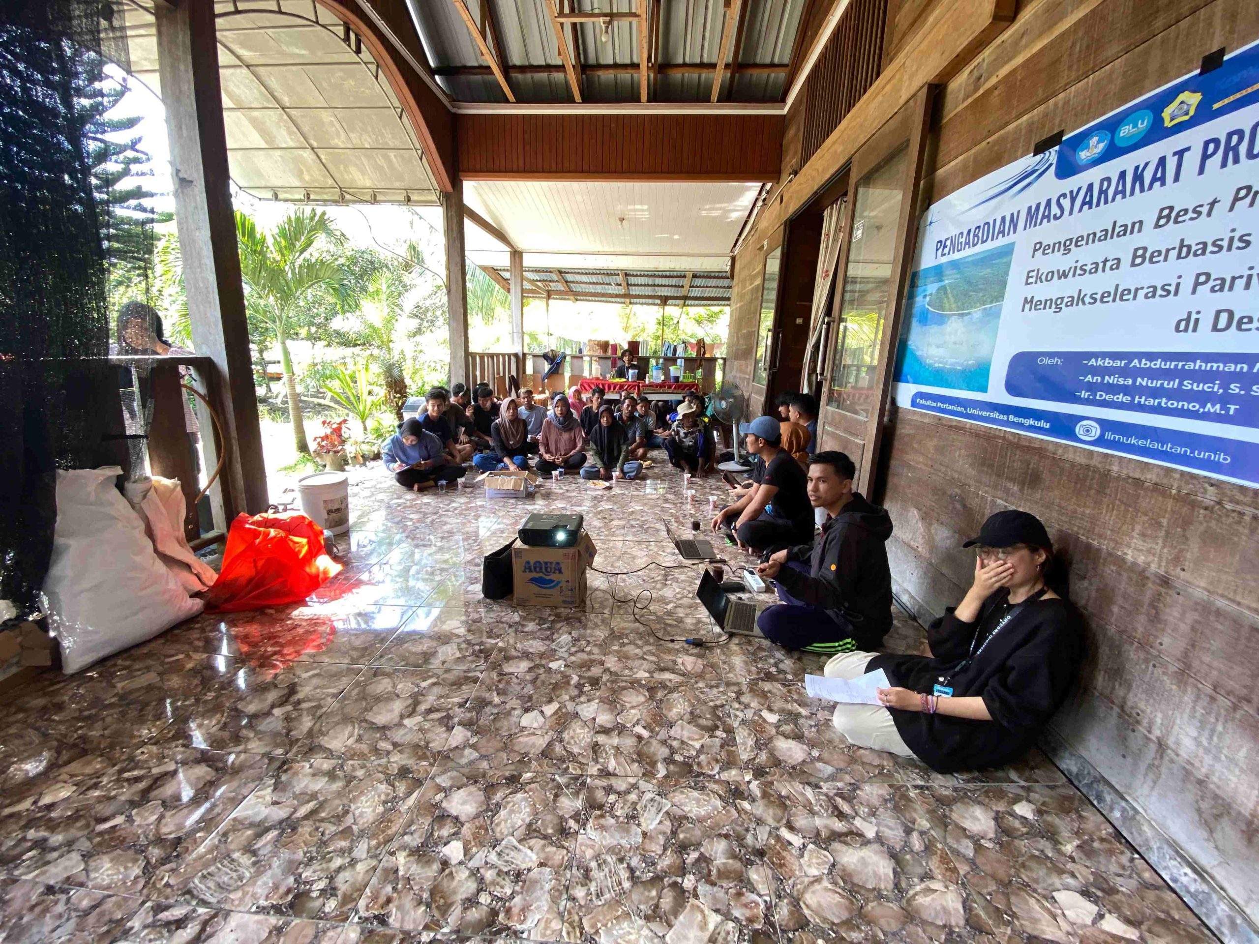
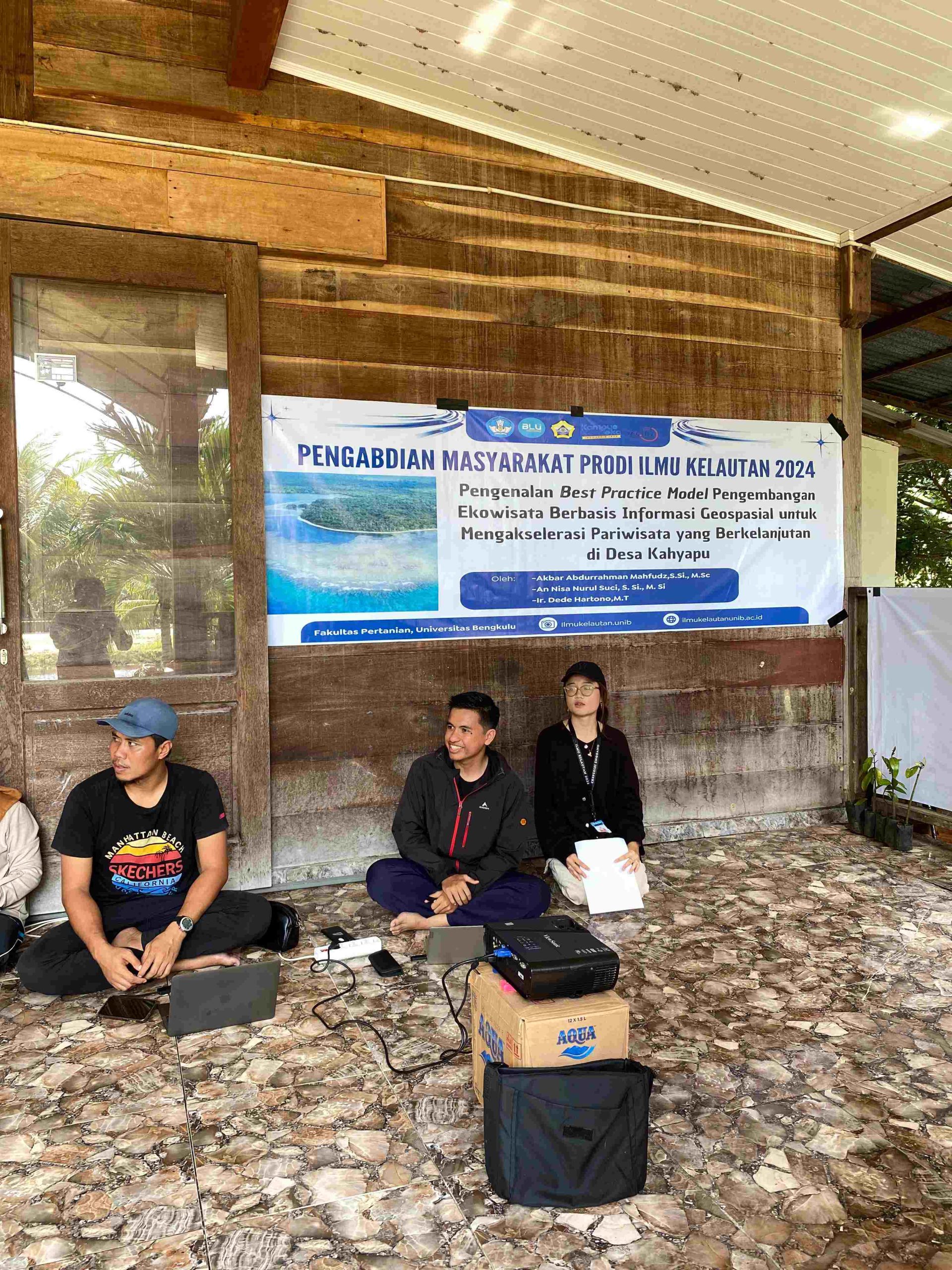
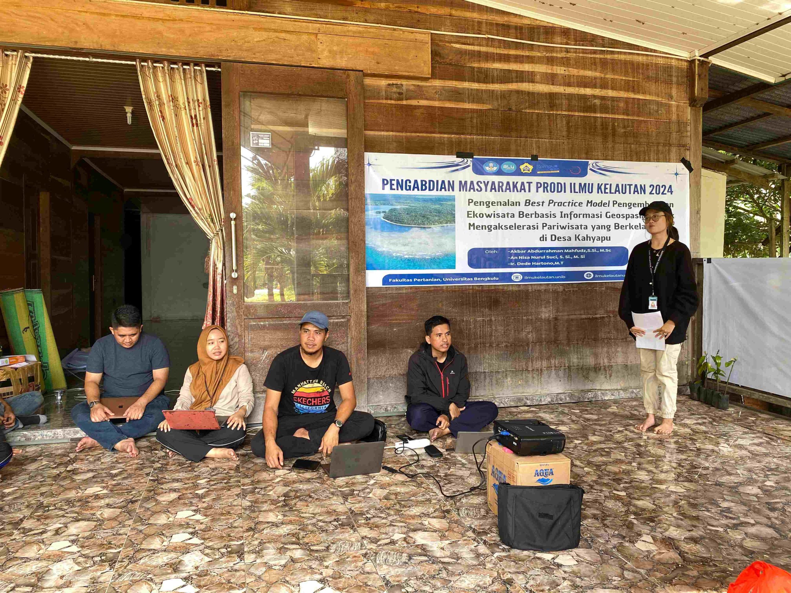
Kahyapu Village in Enggano Island District, North Bengkulu Regency, recently hosted a community service activity titled “Introducing the Best Practice Model of Geospatial Information-Based Ecotourism to Accelerate Sustainable Tourism.” Held on July 14, 2023, the event was led by Akbar Abdurrahman Mahfudz, S.Si., M.Sc., along with team members and students. The main objective was to introduce a development model that integrates geospatial information into ecotourism to the local community.
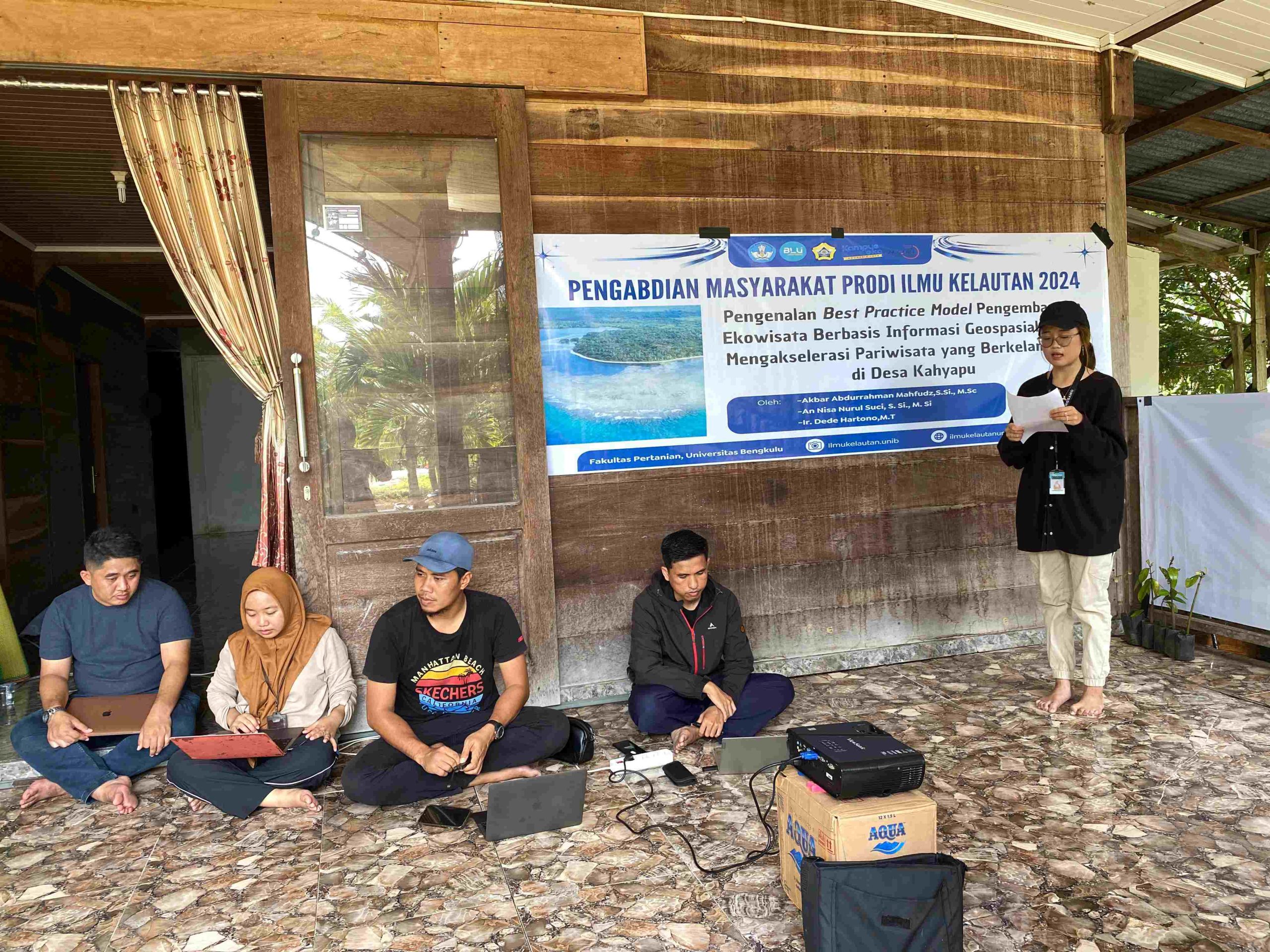
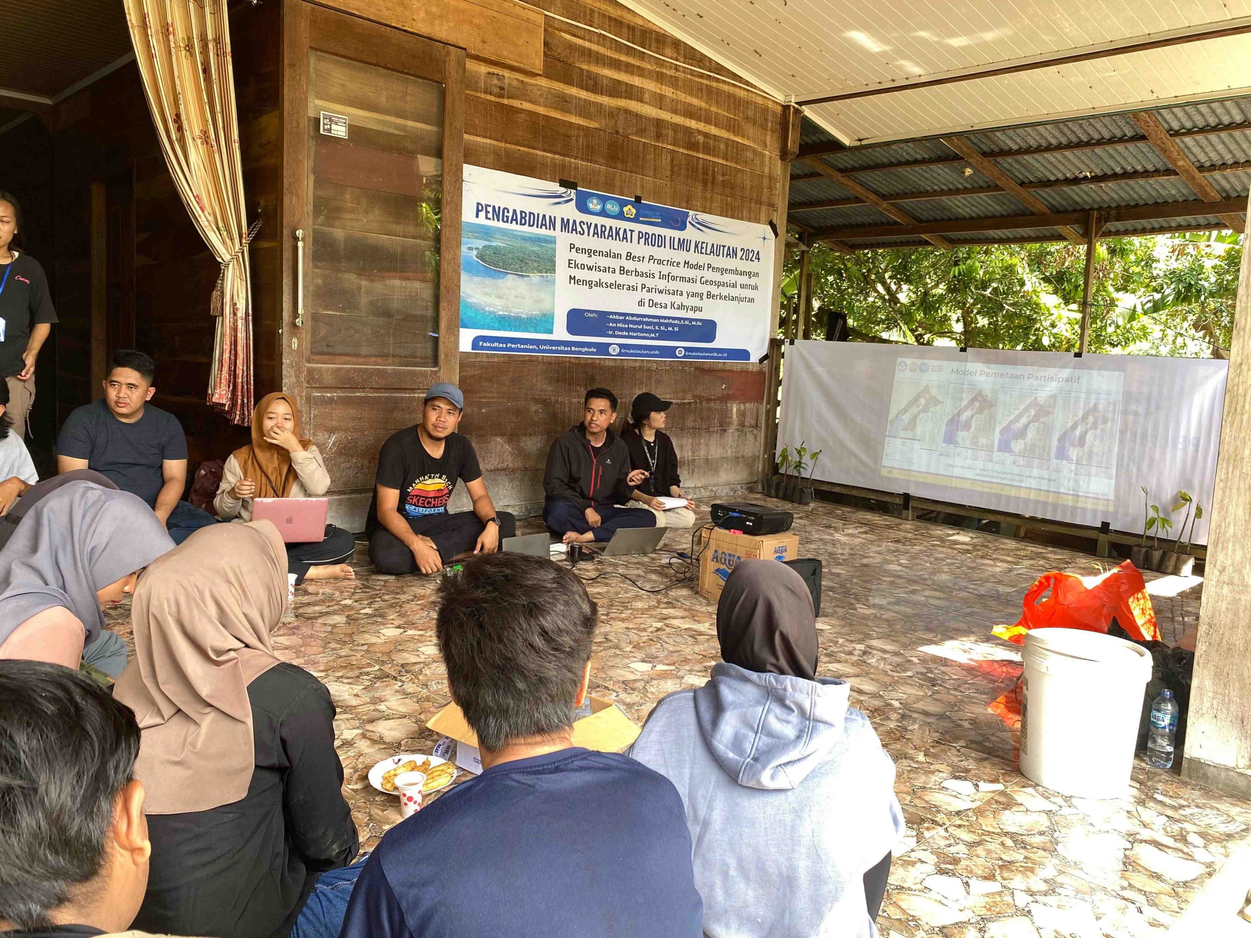
The initiative began with the preparation of materials and coordination with local community leaders and traditional figures. The content covered ecotourism concepts, the importance of geospatial data, and successful examples from other locations, like Tangkahan Ecotourism in North Sumatra. Through presentations, interactive workshops, and discussions, the team engaged villagers in learning about sustainable management of their tourism potential, including a hands-on demonstration of geospatial mapping.
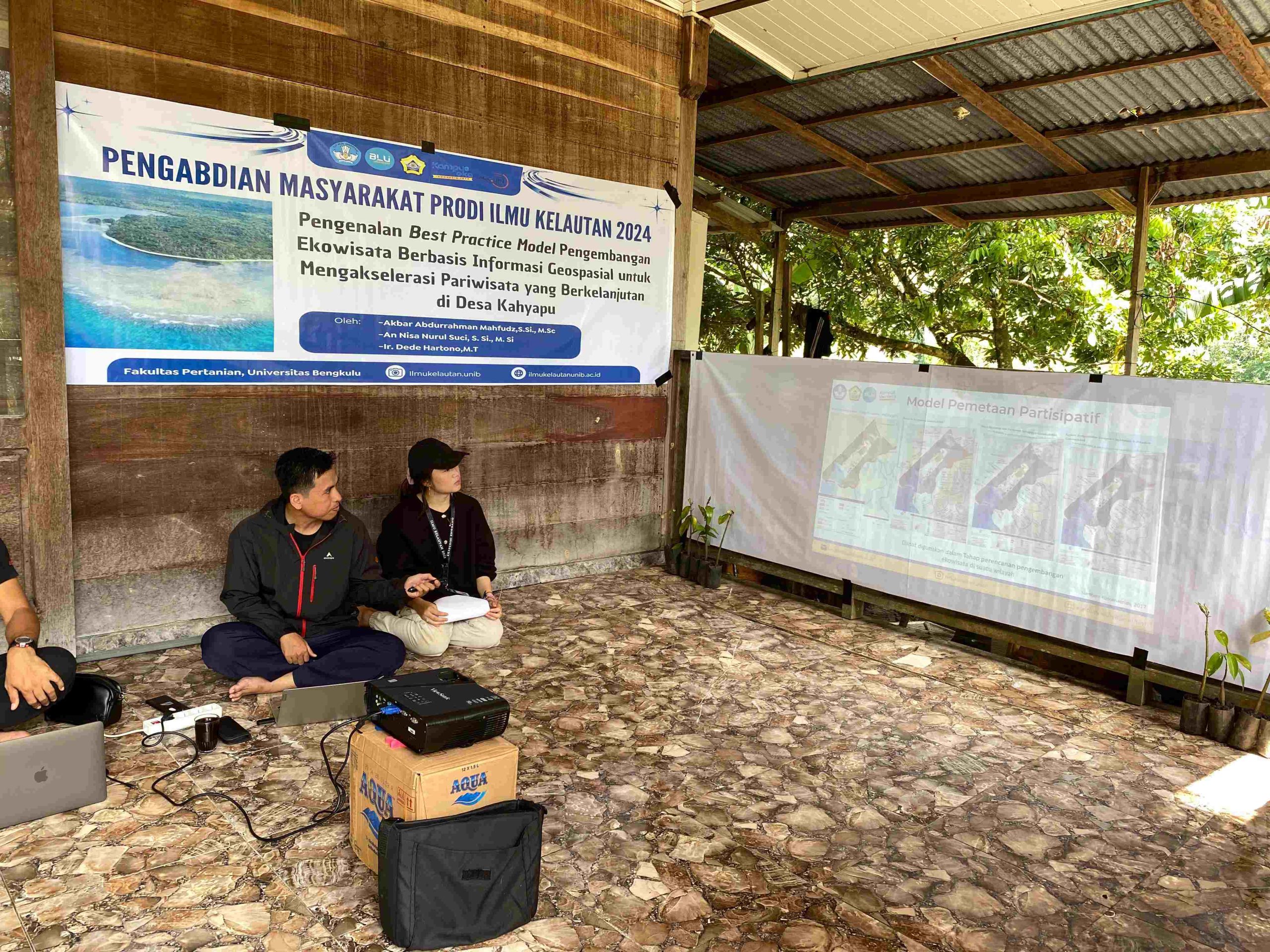
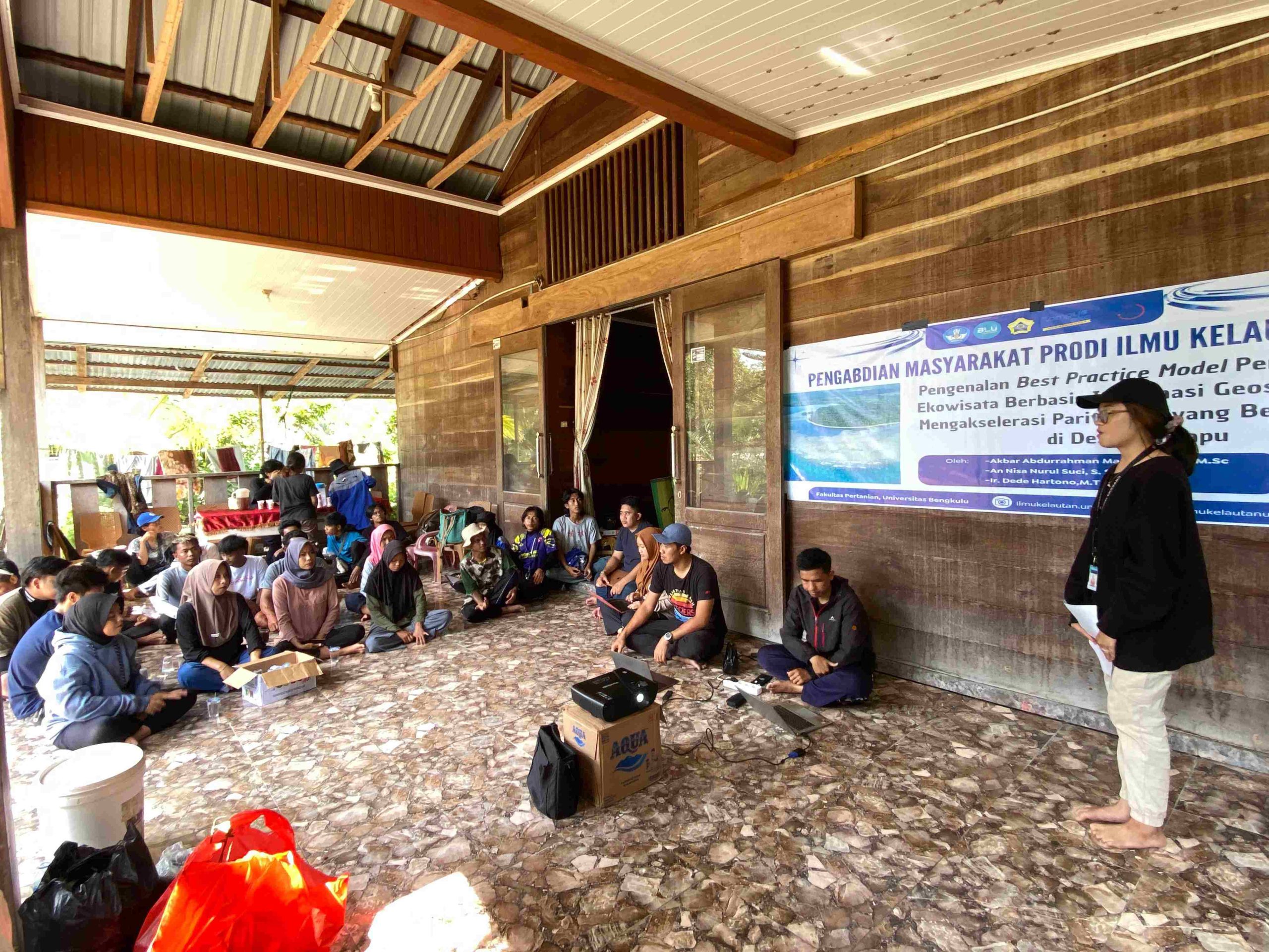
One of the highlights was a demonstration of participatory mapping, showcasing how geospatial data can map supporting facilities, tourism potential, and environmental challenges in Kahyapu. The participatory mapping of Baron Beach in Yogyakarta was shown as an example, illustrating the effectiveness of collaborative mapping between various parties to provide diverse information based on their unique areas of focus.
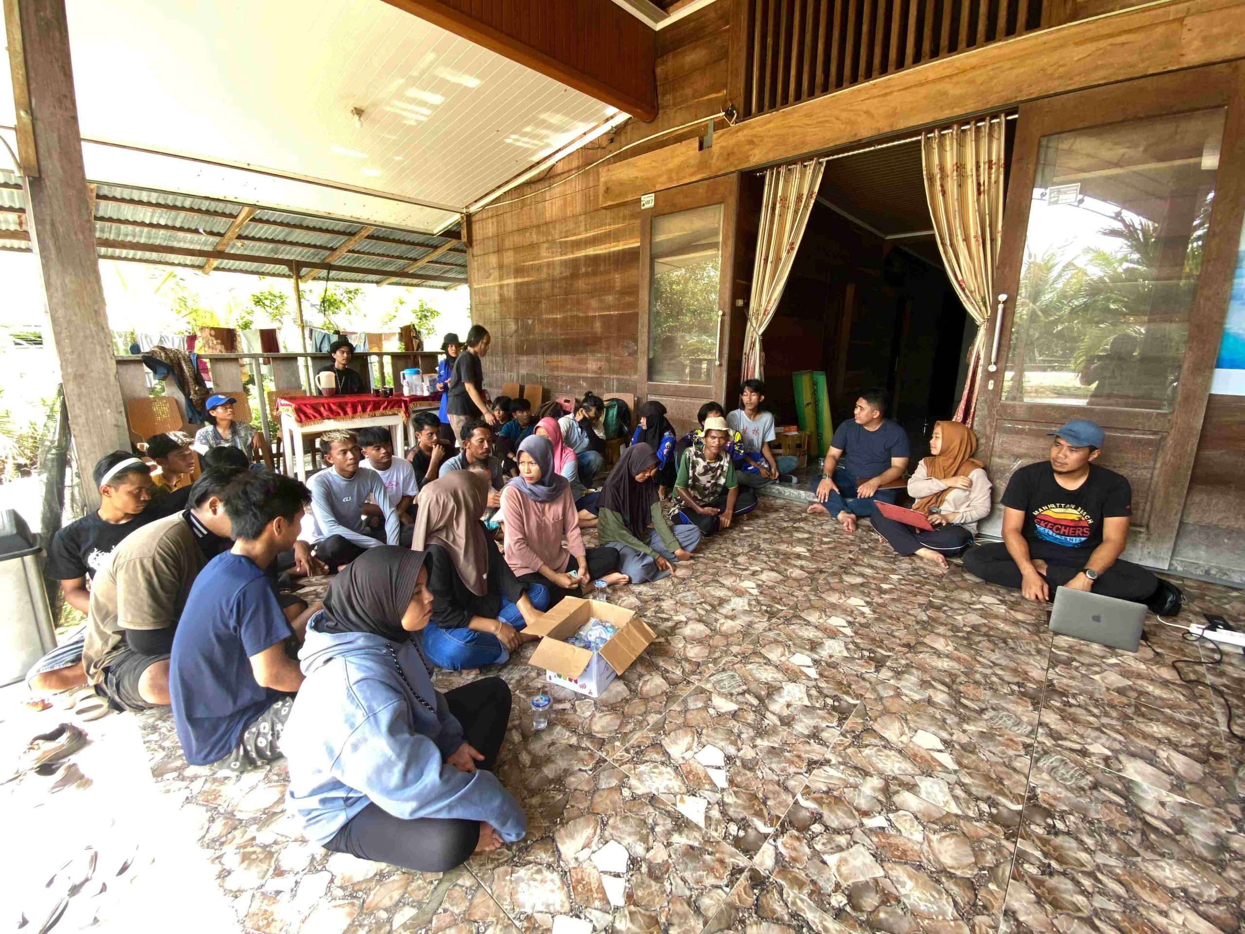
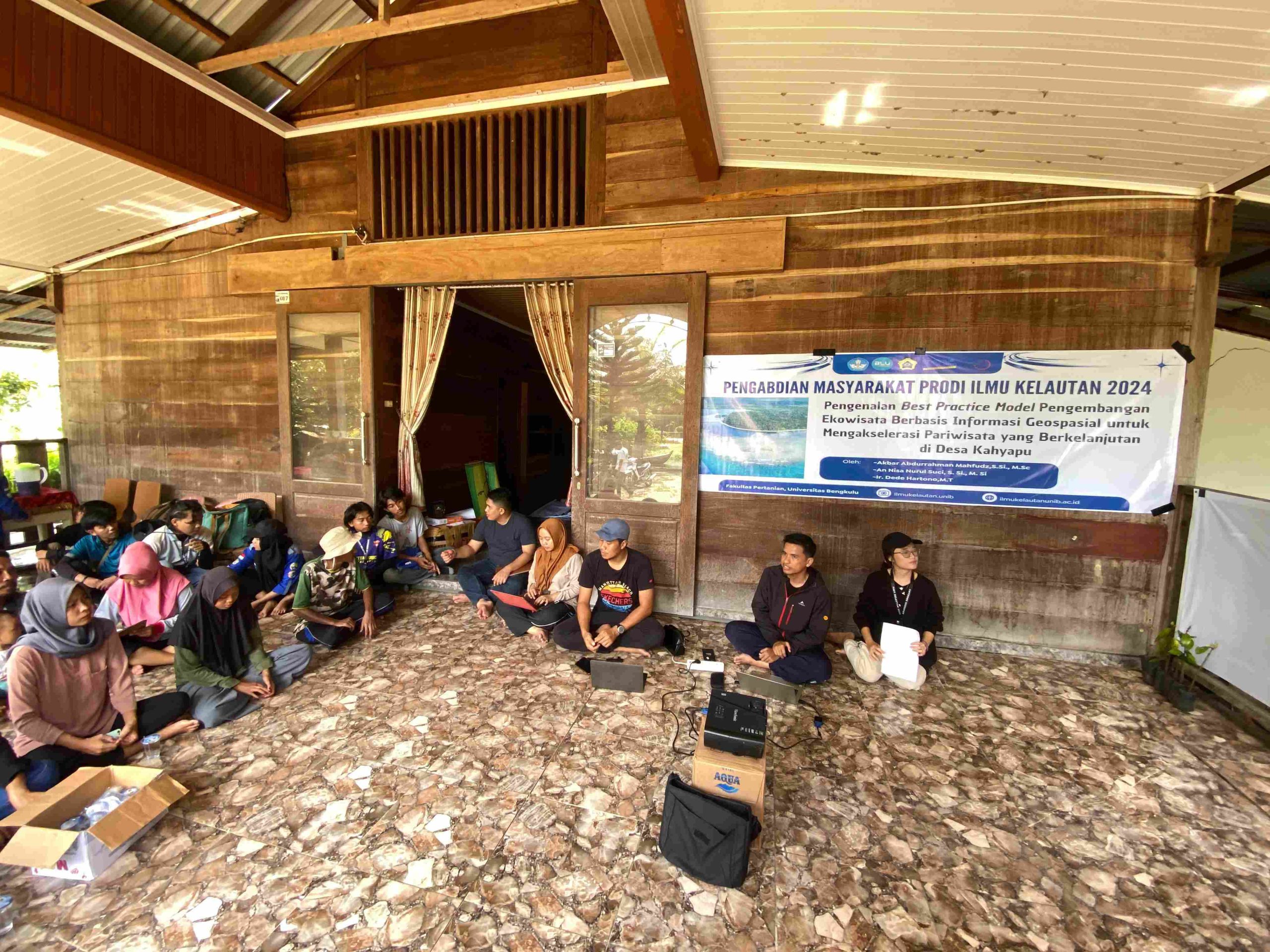
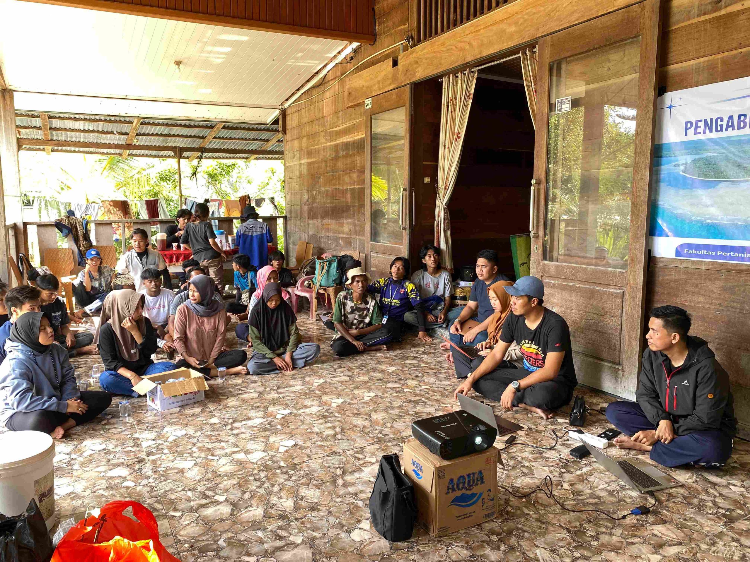
At the end of the event, the team presented the outcomes of the participatory mapping, identifying potential areas and issues to address in developing sustainable ecotourism in Kahyapu. The active participation of residents and support from local stakeholders is expected to accelerate the village’s development as a sustainable ecotourism destination, benefiting the community’s economy and overall well-being.