
Mangrove Resources Monitoring: Marine Science Study Program Lectures and Students field-checked the mangrove ecosystem mapping in Jenggalu, Bengkulu Province
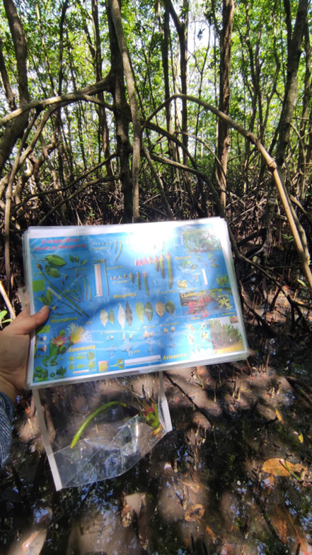
Mangroves, one of the largest marine ecosystems, grow on the coast of Bengkulu Province. The distribution of mangroves can be monitored through remote sensing, such as satellite imagery. The map of mangrove spatial distribution is validated through the field check to know how far the map represents the actual mangrove data in the field. Marine Science Study Program Lectures and students conducted a mangrove field check using mangrove transects in the field. Mangrove data collection includes mangrove species inventory, mangrove diameter breast height, and mangrove canopy cover. Four lectures and ten students observed the thirty-three sites selected as mangrove transects. This activity was funded by the Research and Community Service of University of Bengkulu granted to Ayub Sugara, S.Kel., M.Si. team and carried out from 11 to 12 September 2022. These activities will result in the mangrove species composition, mangrove percent cover, and mangrove carbon stock estimation.


