Participatory Mapping Based on Geospatial Information to Support Coastal Area Potential Development in Pekik Nyaring Village
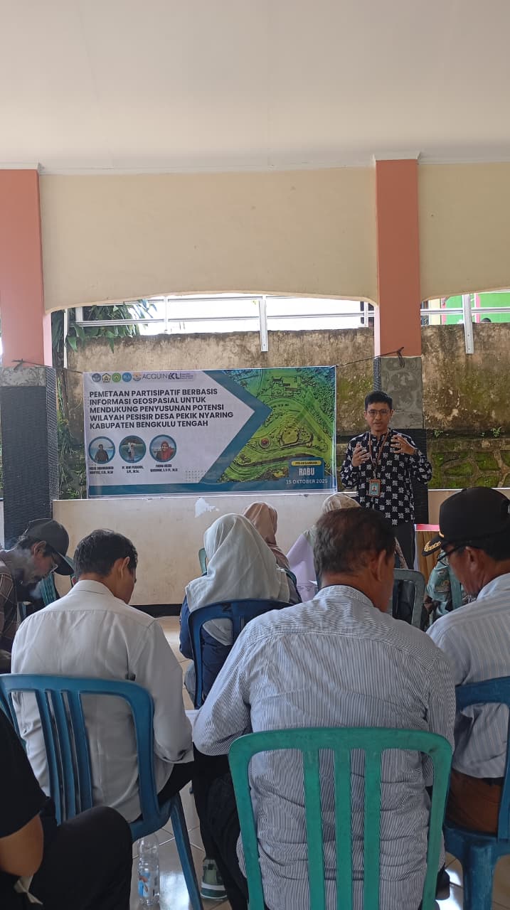
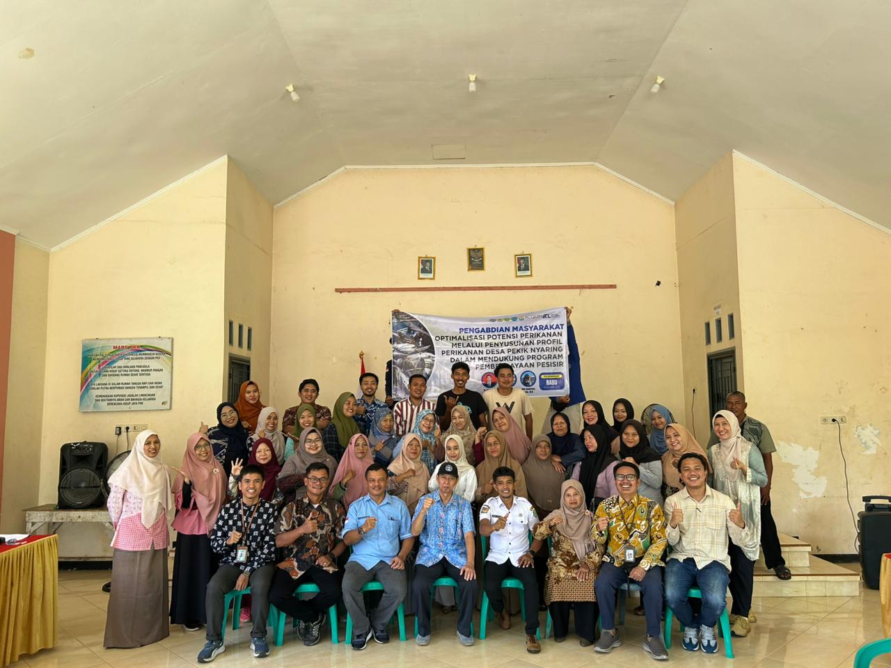
Bengkulu Tengah, 15th October 2025 – The academic team from the Department of Marine Science, University of Bengkulu, has successfully carried out a community service program entitled “Participatory Mapping Based on Geospatial Information to Support the Compilation of Coastal Area Potentials in Pekik Nyaring Village, Central Bengkulu Regency.”
The team consists of Akbar Abdurrahman Mahfudz, S.Si., M.Sc, Dr. Dewi Purnama, S.Pi., M.Sc, and Firdha Iresta Wardhani, S.Pi., M.Si. This program aims to enhance the capacity of coastal communities in understanding and utilizing geospatial information as a foundation for identifying and managing their local coastal resources.
The participatory mapping activity was carried out through five main stages:
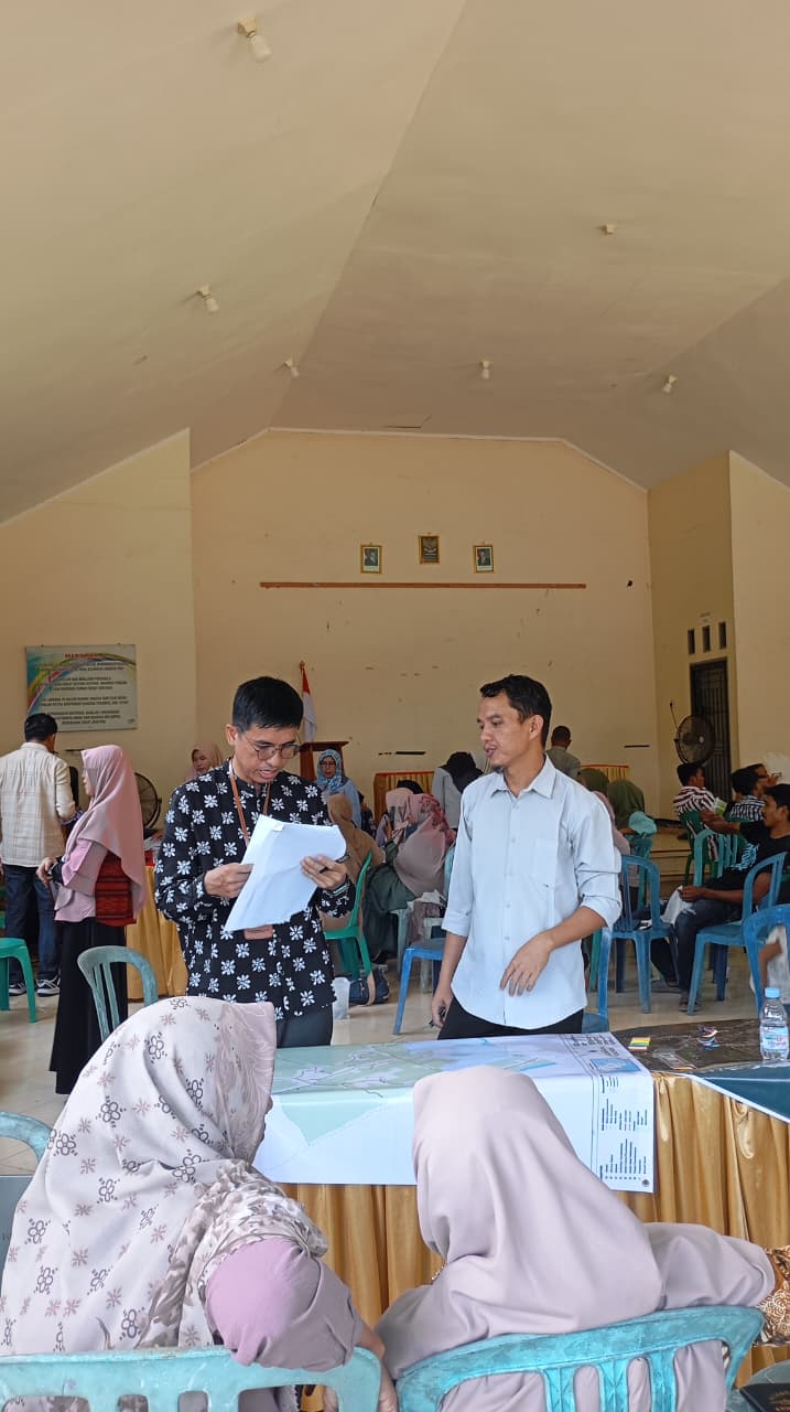
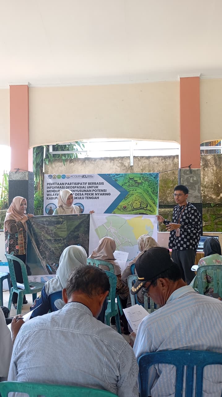
- Presentation of materials, including an introduction to the background, objectives, and overall overview of the participatory mapping process.
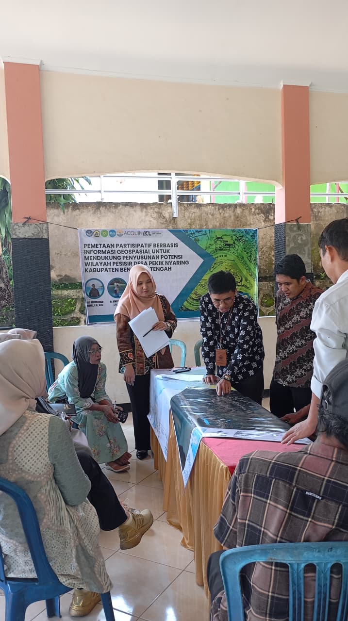
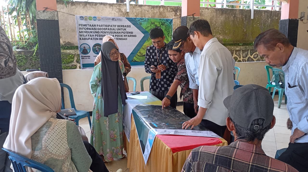
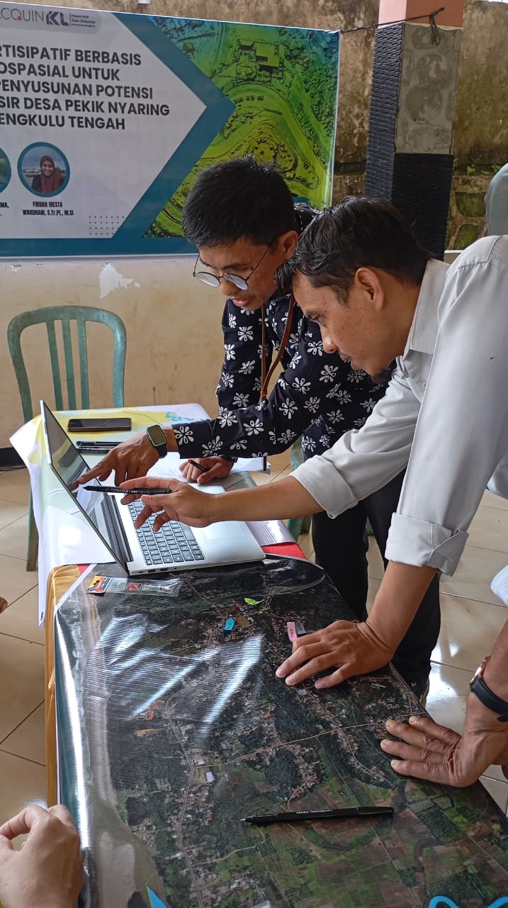
- Preparation of mapping media, where the team provided base maps as interactive tools for community discussion.
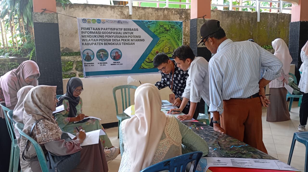
- Preparation of supporting tools and materials, including mapping instruments, stationery, and documentation equipment.
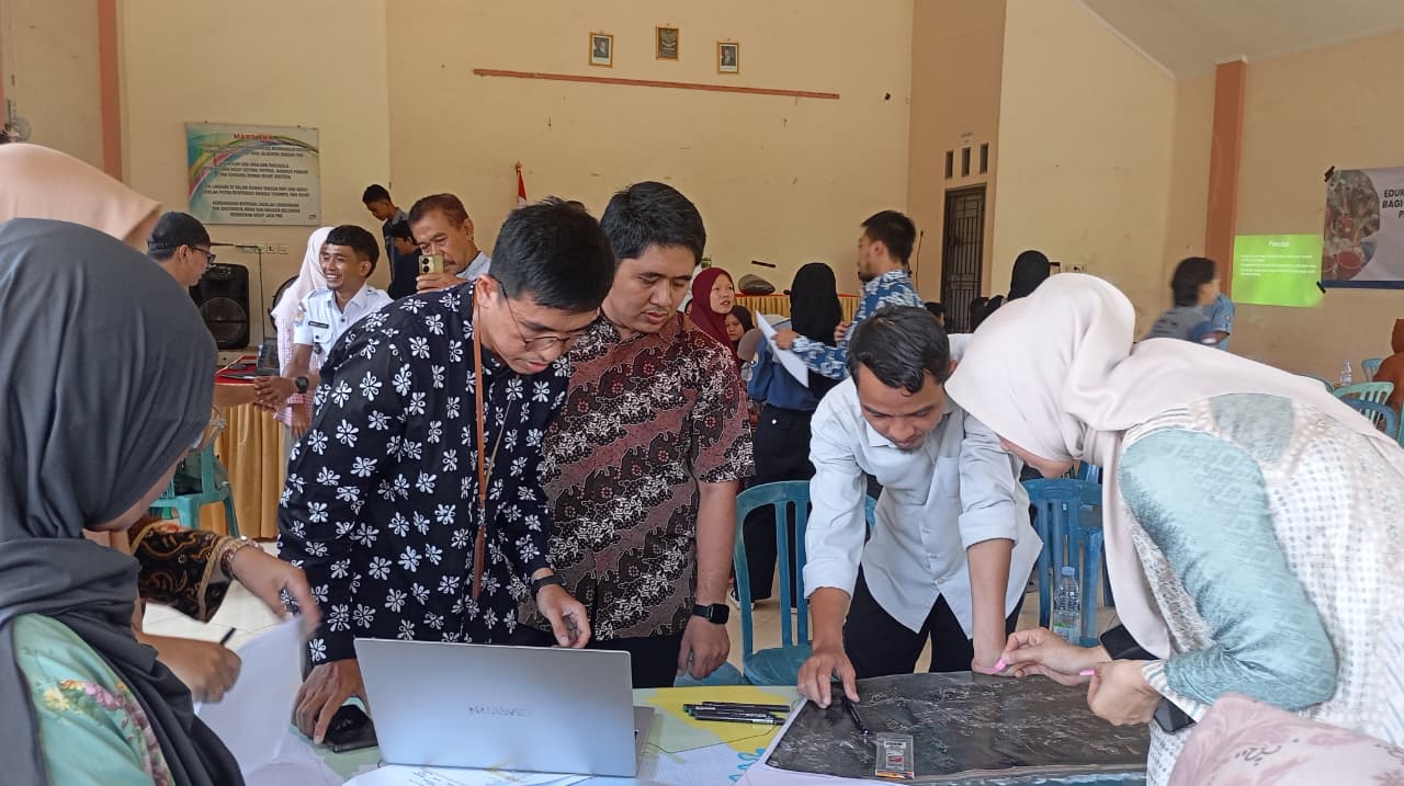
- Participatory mapping session, in which the academic team and community members collaboratively identified local coastal potentials and village boundaries.
- Evaluation stage, where participants completed questionnaires to provide feedback and measure their understanding of the material.
The outcome of this activity is expected to be a comprehensive Village Map of Pekik Nyaring, developed according to the technical standards set by the Geospatial Information Agency (BIG) Regulation No. 3 of 2016 on Technical Guidelines for Village Map Presentation. The village map will include essential elements such as toponymy, administrative boundaries, transportation networks, water bodies, and public facilities.
The event was attended by village officials, fishermen, and local residents, who actively participated in discussions and mapping sessions. Through this participatory approach, the community gained practical knowledge on how to collect, manage, and analyze spatial data independently, which in turn supports evidence-based coastal management.
“Participatory mapping is a strategic step to enable coastal communities to possess accurate spatial data, allowing for more effective and data-driven regional management,” said Akbar Abdurrahman Mahfudz, M.Sc, the project leader.
This community service initiative is expected to contribute to the creation of an accurate and inclusive spatial database for Pekik Nyaring Village, while also strengthening community engagement in sustainable coastal resource planning and development.